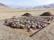
Ancient road emerges as water level drops in Lake Van
VAN
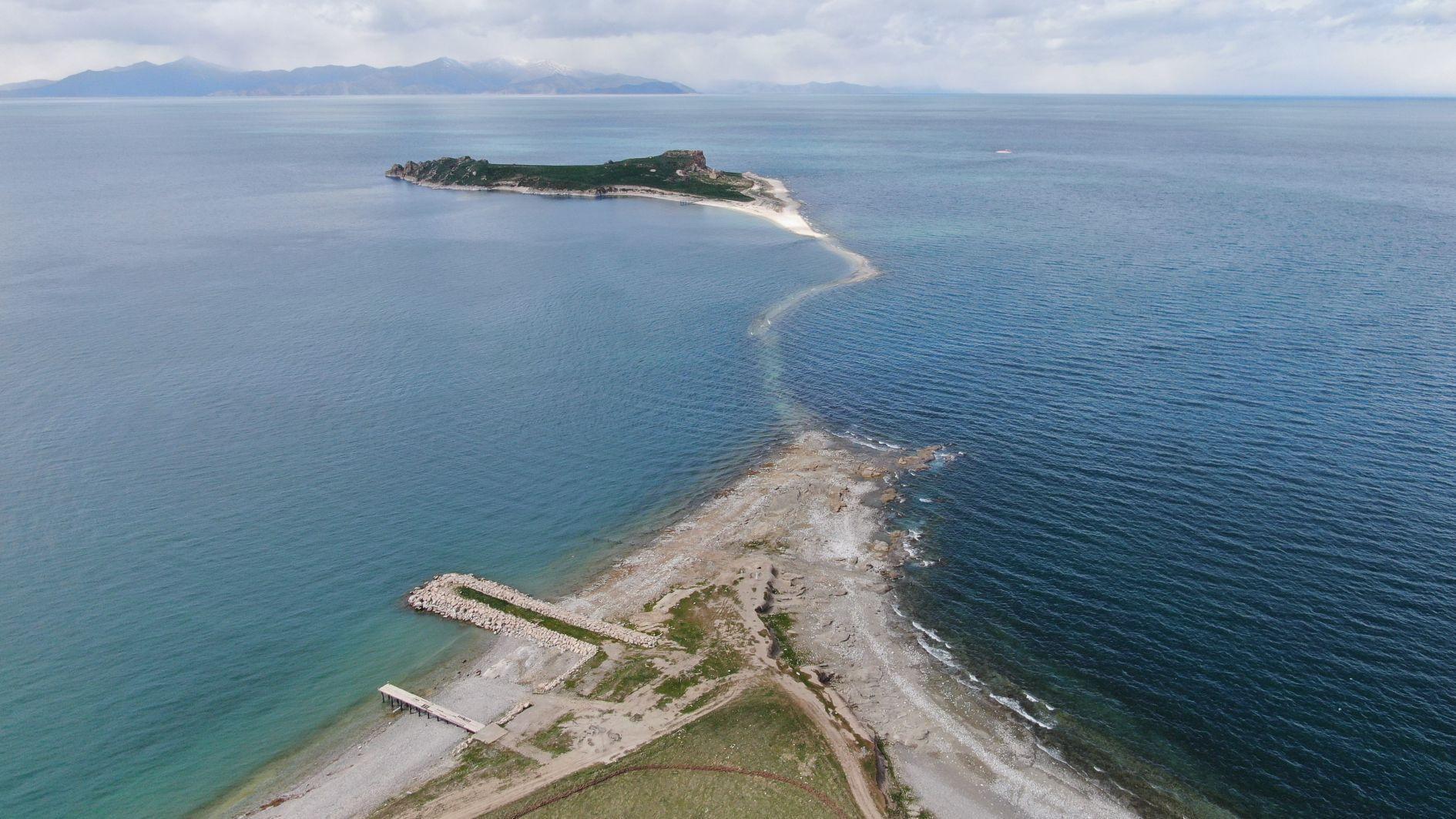
A historic stone road leading to Çarpanak Island in eastern Lake Van has reappeared as water levels continue to recede, exposing nearly 80 percent of the 1-kilometer-long route.
In recent years, the shrinking lake has revealed parts of its hidden past, with the ancient pathway resurfacing once again near the Tuşba district. The island, which is among the closest to the mainland, is now separated by only 200 to 300 meters of shallow water.
“Just three to five years ago, this area was completely underwater,” said Mustafa Akkuş, an associate professor at Van Yüzüncü Yıl University’s Faculty of Fisheries. “Due to decreased rainfall during the winters and higher-than-average summer temperatures, Lake Van has suffered a significant water loss. The shoreline continues to retreat each year.”
Covering an area of about 3,712 square kilometers — nearly one-third the size of the Marmara Sea — Lake Van is Türkiye’s largest body of inland water. Akkuş warned that if dry conditions persist, the gap between the island and the mainland could narrow even further.
“If 2026 also brings a warm and dry season, people may be able to walk to the island within a few years,” he said. “However, we hope for heavy rainfall that will restore the lake’s level and once again surround Çarpanak Island with its deep blue waters.”